We Combine Consulting & Geospatial Technologies
to create outstanding experiences for our customers
Industries
We Serve


Our Services
GIS Implementation & Integration

Data Management & Visualization

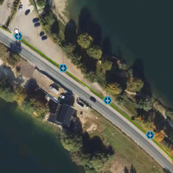
Aerial Inspections & Underground Detection
Esri Solutions
Integrator

We’re a Proud Esri Partner
As an Esri Partner since 2010, GISonLine brings years of expertise in integrating and deploying software and services built upon Esri’s ArcGIS platform and suite of applications. Through our Esri Partnership and expertise, GISonLine transforms client requirements into innovative and tailored solutions to meet unique business needs.
We Specialize in Value-Added Esri Solutions
GISonline specializes in establishing value-added Esri solutions designed to fit client requirements and business goals.
- ArcGIS implementation & system integration
- Custom web and mobile app solutions
- ArcGIS Dashboards and business intelligence reporting
- Esri Utility Network & asset management
Copyright Esri Inc. All Rights Reserved
GISonLine
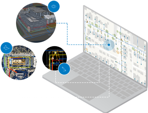
Location Products


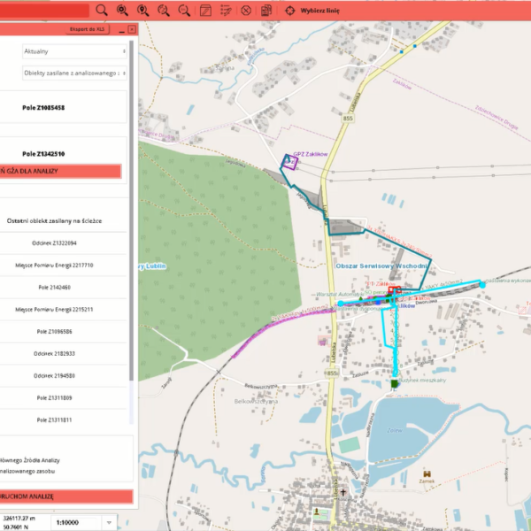
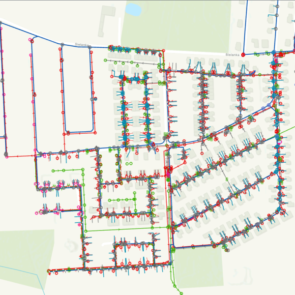
GRIDonLine is a comprehensive GIS Utilities Asset Management (AM) system designed to scale from small to large enterprise utility networks.


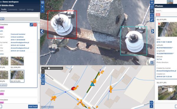
INSPECTonLine is a cloud-based (SaaS) web mapping application designed specifically for viewing, integrating and collaborating on survey & inspection datasets.


Client Success
Case Studies

The Best Thing About GISonLine
Our Customers


Contact us
Looking for Location Intelligence?
